Bronze age civilization

pixabay
Before the Iron Age, it was widely known that the largest structures in the world were the Bronze Age megaforts in Central Europe. However, recent discoveries from satellite and aerial images have revealed a previously unknown network of 100 massive sites that were interconnected, forming a complex society.
Archaeologists

pixabay
Archaeologists found that the “massive sites did not stand alone, they were part of a dense network of closely related and codependent communities,”
Barry Molloy
pixabay
In a statement, Barry Molloy, one of the researchers behind the new study detailing these structures, shared his insights. “At their peak, the people living within this lower Pannonian network of sites must have numbered into the tens of thousands.”
Massive megaforts

pixabay
Some of the most massive megaforts, such as Gradište Iđoš, Csanádpalota, Sântana, or Corneşti Iarcuri, were surrounded by more than 20 miles of ditches and stood out as the largest structures of the Bronze Age. Situated in the Carpathian Basin, which spans central and southeast Europe and is intersected by the Danube River.
Cold War-era

Youtube
Just as Cold War-era satellite imagery revealed 396 previously undiscovered Roman forts in present-day Syria and Iraq, the identification of over 100 new sites in Central Europe through technology-assisted archaeology is a significant achievement.
Knowledge
Youtube
This discovery enhances our knowledge of ancient societal connections and underscores the value of technological advancements in archaeology.
Tisza River

Youtube
The recent discoveries were clustered near the Tisza River, spanning multiple national borders and all within a 50-mile radius.
Ground surveys

Youtube
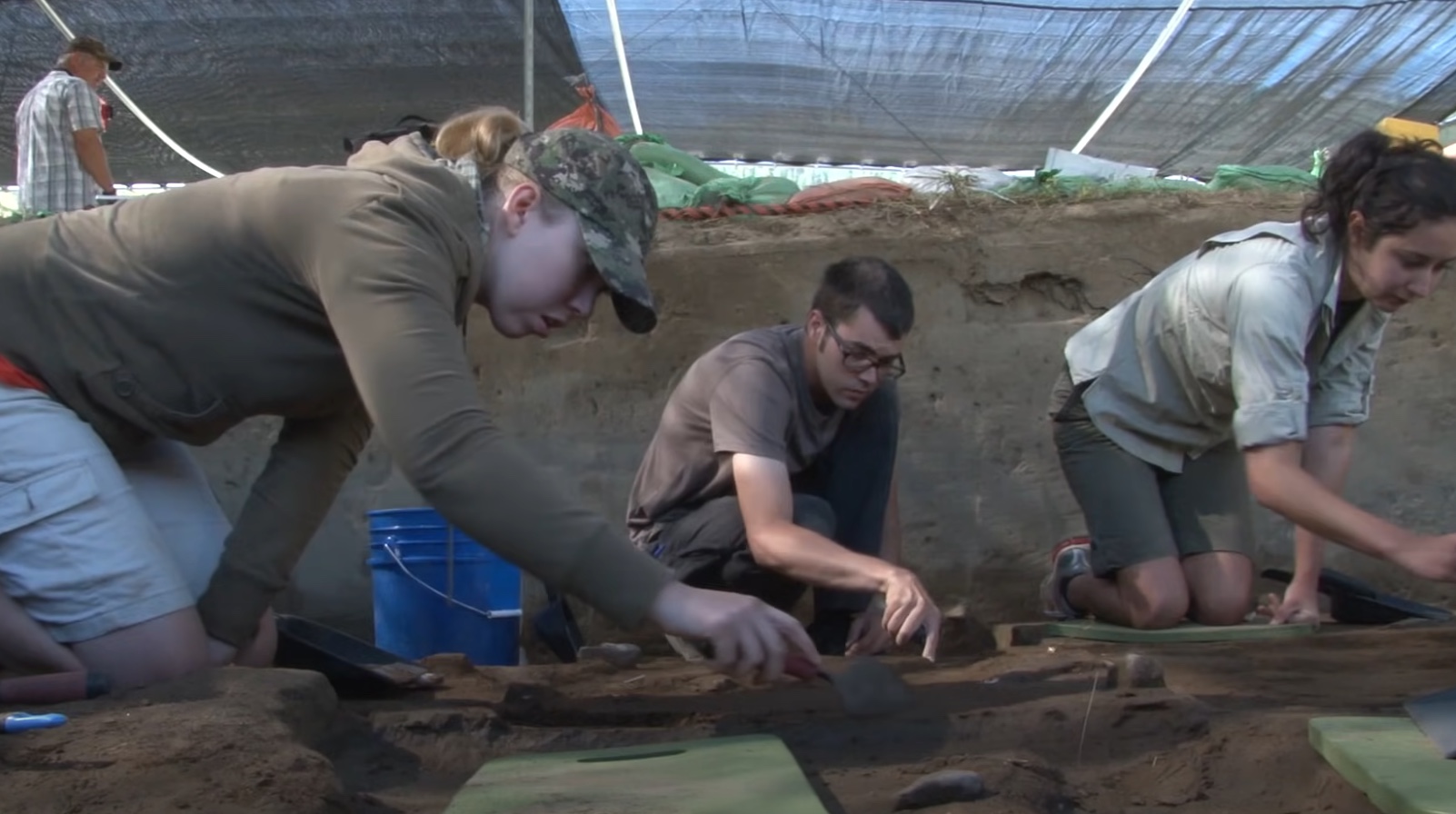
Extensive ground surveys, excavations, and geophysical investigations revealed that most of these sites were established between 1600 and 1450 BC, remaining active until a widespread abandonment around 1200 BC.
Battleground
Youtube
The close proximity of these sites suggests to archaeologists that this area was not a battleground of competing kingdoms but rather a collaborative community that functioned as a central hub for the region. This was during a period when civilizations like the Mycenaeans, Hittites, and New Kingdom Egyptians were flourishing.
European prehistory
Youtube
“Our understanding of how their society worked challenges many aspects of European prehistory,” Molloy said. “It would be extremely unlikely for each of these 100-plus sites to have been individual chiefdoms competing with each other.”
Detail

Youtube
The meticulous level of detail captured in the images serves as evidence of this fact.“Uniquely for prehistoric Europe, we are able to do more than identify the location of a few sites using satellite imagery but have been able to define an entire settled landscape, complete with maps of the size and layout of sites, even down to the locations of people’s homes within them,” Molloy said. “This really gives an unprecedented view of how these Bronze Age people lived with each other and their many neighbors.”
Timeframe

pixabay
The timeframe coincides with a significant shift in Europe’s history, marked by the dissemination of military and earthwork technologies throughout the continent before a decline around 1200 BC. The interconnected sites in this network may shed light on how a prominent group influenced the material culture and symbols that spread across Europe.
1200 BC

pixabay
Furthermore, the extensive nature of these sites could potentially challenge the prevailing hypothesis regarding the cause of the collapse around 1200 BC. While it was previously thought that the abandonment of central locations was linked to declining populations, this network of sites suggests alternative explanations.
Increased scale
pixabay
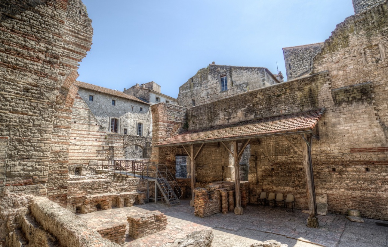
But the authors counter that the complexity and density in the settlement systems instead shows “increased scale” thanks to “intensified long-distance networks.”
Innovations
pixabay
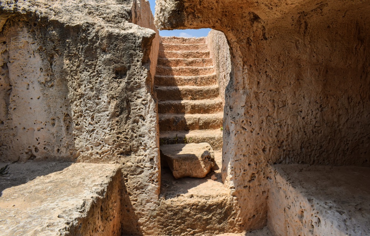
Of course, it wasn’t all white picket fences. “Major innovations in warfare and organized violence took place at this time,” Molloy said. “The scale of this society indicates it was relevant and powerful on a European stage and between force of arms and major defensible features at settlements, they were well equipped to defend their gains.”

